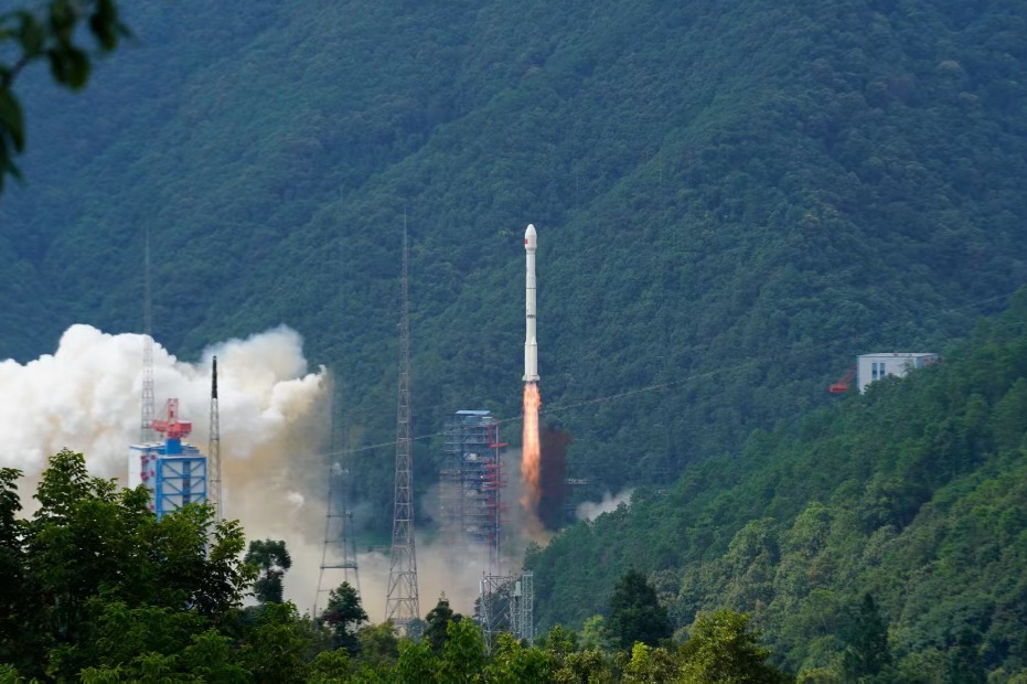
China launches advanced satellite navigation positioning system

BEIJING -- China on Saturday launched a national satellite navigation and positioning system. It is the largest in the country and boasts the widest coverage.
Li Weisen, deputy director of the National Administration of Surveying, Mapping and Geoinformation, said that the system consists of 2,700 base stations, a national database center and 30 provincial level database centers.
The system, featuring faster speed, higher accuracy and wider coverage, will be compatible with other satellite navigation systems, such as the BeiDou Navigation Satellite System and Global Position System (GPS), Li said.
According to the administration, the system is able to provide positioning service to transportation, emergency medical rescue and city planning and management.
- Cargo, fishing vessels collide in Bohai Sea, search for missing underway
- China's first 8K space film ?SHENZHOU 13 premieres in Shanghai
- Flags spotlight Hebei's enduring war legacy
- Harbin Institute of Technology opens China-SCO doctoral training center
- Xi extends congratulations to plenary session of China-Russia friendship committee
- China unveils asteroid defense mission plan


